| HOME PAGE | |
| CONSULTANCY | |
| PUBLICATIONS | |
| > | TOPICAL - Slapton |
| Site Map |
e-mail enquiries to:
info@coastalresearch.co.uk
or write to:
Coastal Research, Tamarisks, Waresfoot Drive, Crediton, Devon, EX17 2DG, UK
or telephone:
+44 (0) 7814 101665
This page was updated on 4th November 2026.
This page is mostly annotated photos. For data relative to Mean Sea Level see Data.
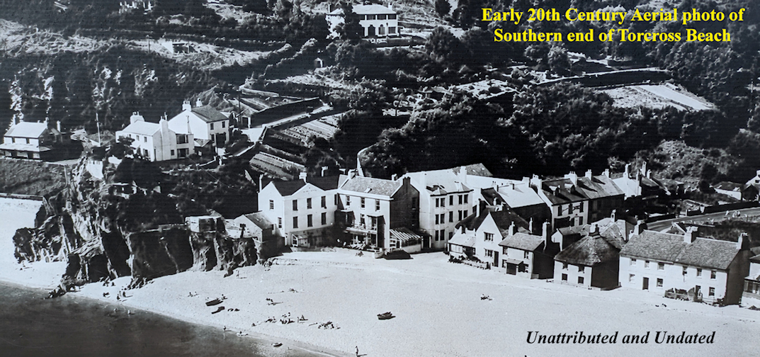


Was this a design error?
Beach levels in the early 2000s were nearly up to the top of the sea wall at Torcross. That was a beach level over 5 metres higher than the 2026 photo. In 2016 the beach was lower again when the sea wall was damaged by Storm Imogen. Following that damage a second line of sheet piling was put in place capped with with another concrete capping (the Wide capping).

How long is the present structure likely to survive winter storms?
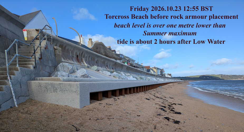
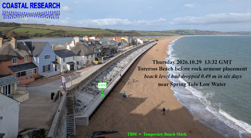
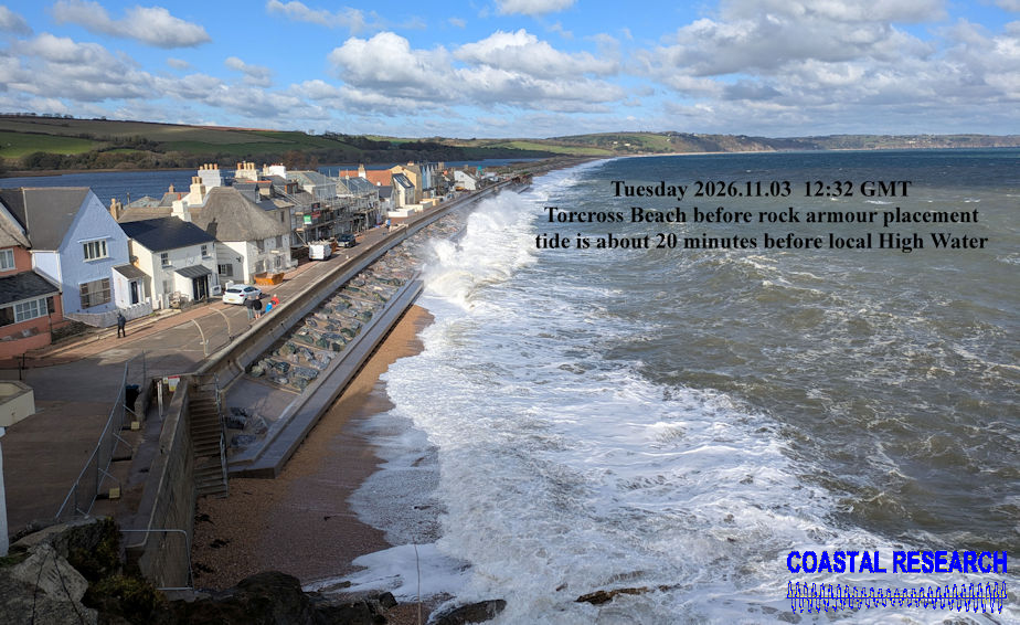
Beach Levels during Autumn 2026 before Rock Armour placement.