For current
e-mail address
postal address
telephone number
please refer to the Home Page
This page was updated on 16th September 2013.
CMIAR software is a mapping database. For every Memorial Record that is given a Latitude and Longitude the position can be plotted on maps of various scales: World, Country, Local.
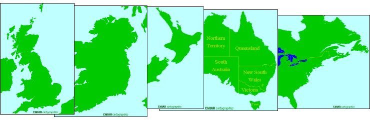
The available maps are currently of interest to Clans descended from Britain and Ireland, but maps of any country or local area can be included.
As with any database there is a range of functions to aid searching for records that match particular criteria, but CMIAR offers the additional ability to search on global co-ordinates.
The mapping possiblilities include distrubtion maps of the whole or part archive. Conversion of co-ordinates between Latitude and Longitude and National Grid References, and their presentation in a variety of formats.
Any map created with the user's selection of records can be printed to a file in full colour. This map file can then be incorporated into a hard copy publication, an HTML file for the internet, or used with a computer projector for a lecture. A number of options are provided to customize maps.
Several data graphing options are available and all graphs may be printed.
Putting CMIAR Records into a distribution map may be the first time that a user has considered the geographical spread of a family. The software enables a clear insight to how a Clan has migrated over time. No mathematical ability is required, the software does it for you.
Downloading the software, which includes an exemplar Clan file allows all the above features to be viewed.